
MNSR—Pink Line

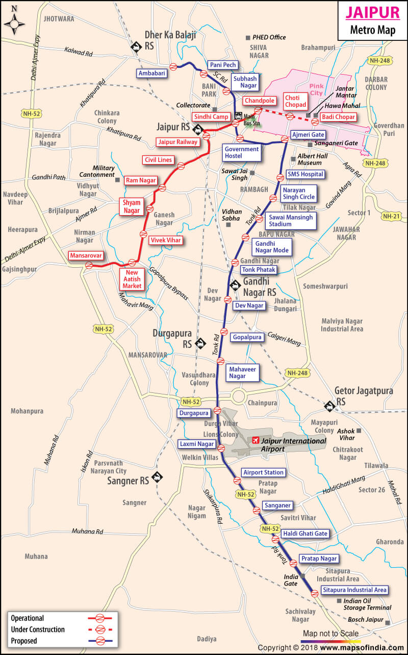
Currently, Jaipur Metro has 11 operational stations on the Pink Line. The route starts from Mansarovar (West) and ends at Badi Chaupar (East), covering a total distance of 11.97 kilometers. The upcoming Orange Line will add another 20+ stations to the network once completed.
Welcome to the most comprehensive guide to the Jaipur Metro Route Map. Whether you are a local resident or a tourist visiting the city's heritage sites, our interactive map and station guide will help you navigate the 12-km Pink Line corridor efficiently. Explore station details, connectivity options, and download our PDF route map for offline use.
Click on any station marker to view detailed information, images, and nearby attractions
The Pink Line is currently the lifeline of Jaipur's rapid transit system. It serves as an East-West corridor, connecting heavily populated residential areas with the historical markets and business centers of the city.
The proposed Orange Line is set to be the North-South corridor of Jaipur. It is planned to connect Sitapura Industrial Area to Ambabari, significantly improving the city's connectivity to the airport and industrial hubs.
*Status: Approved and under initial pre-construction phases. Expected to feature over 20 stations.
Every station on the Jaipur Metro route is designed to provide maximum comfort and safety to passengers. The stations are equipped with:
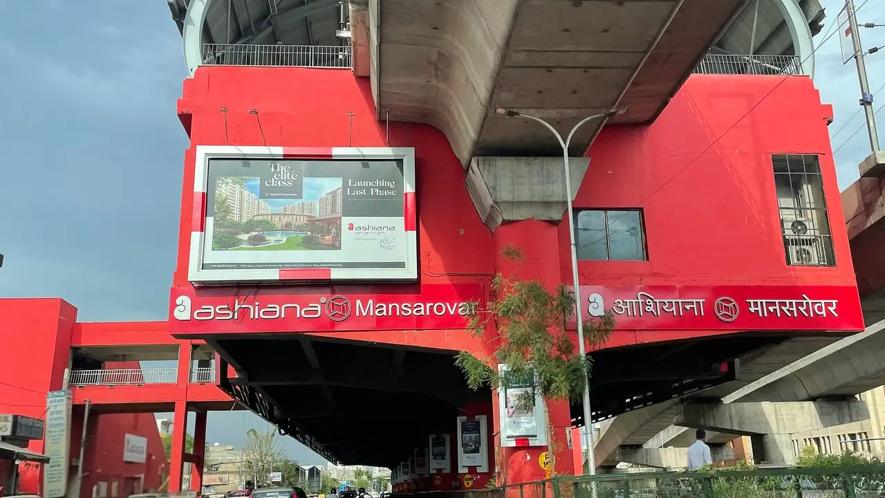
Starting at Mansarovar, the world's largest residential colony, the metro serves areas like New Aatish Market and Vivek Vihar, providing a lifeline for daily commuters working in the city center.
The route features two major interchange points: Railway Station(connected to North Western Railways) and Sindhi Camp(Jaipur's primary Inter-state Bus Terminal), ensuring seamless transition between transport modes.
The underground section from Chandpole to Badi Chaupartakes you directly into the Walled City. It provides easy access to Johari Bazar, Hawa Mahal, and the famous Pink City markets.
Here is the sequence of all 11 stations from West to East. Use this station list to plan your entry and exit points near your destination.
MNSR—Pink Line
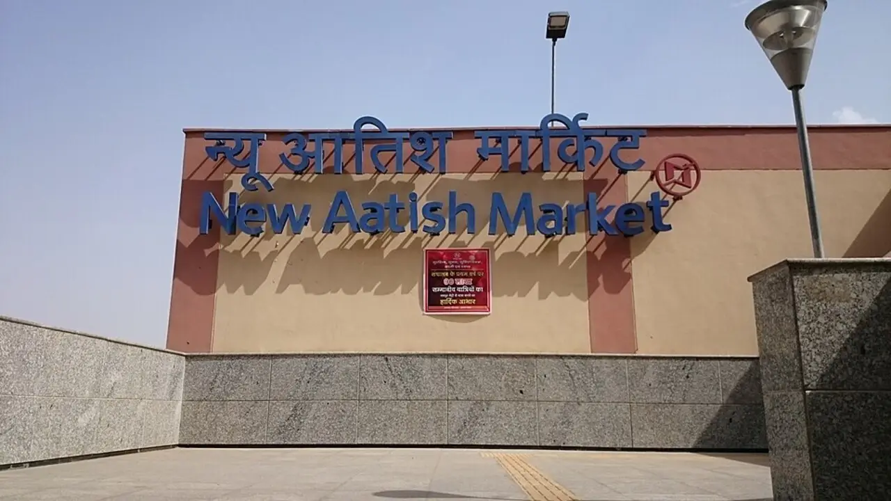
NAM—Pink Line
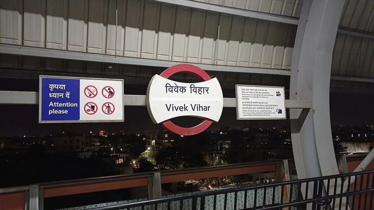
VVHR—Pink Line
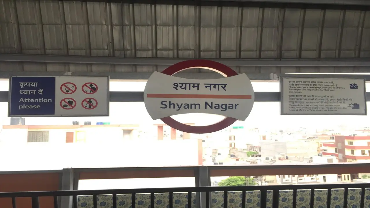
SNGR—Pink Line
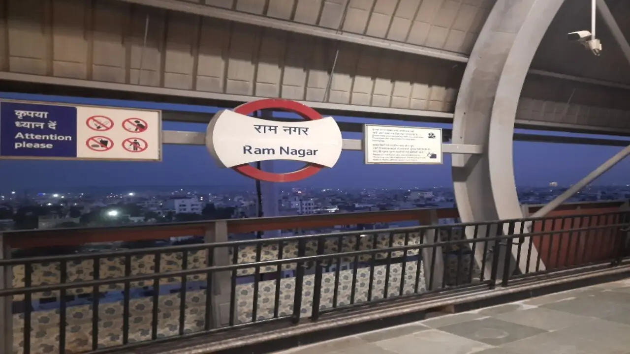
RNGR—Pink Line
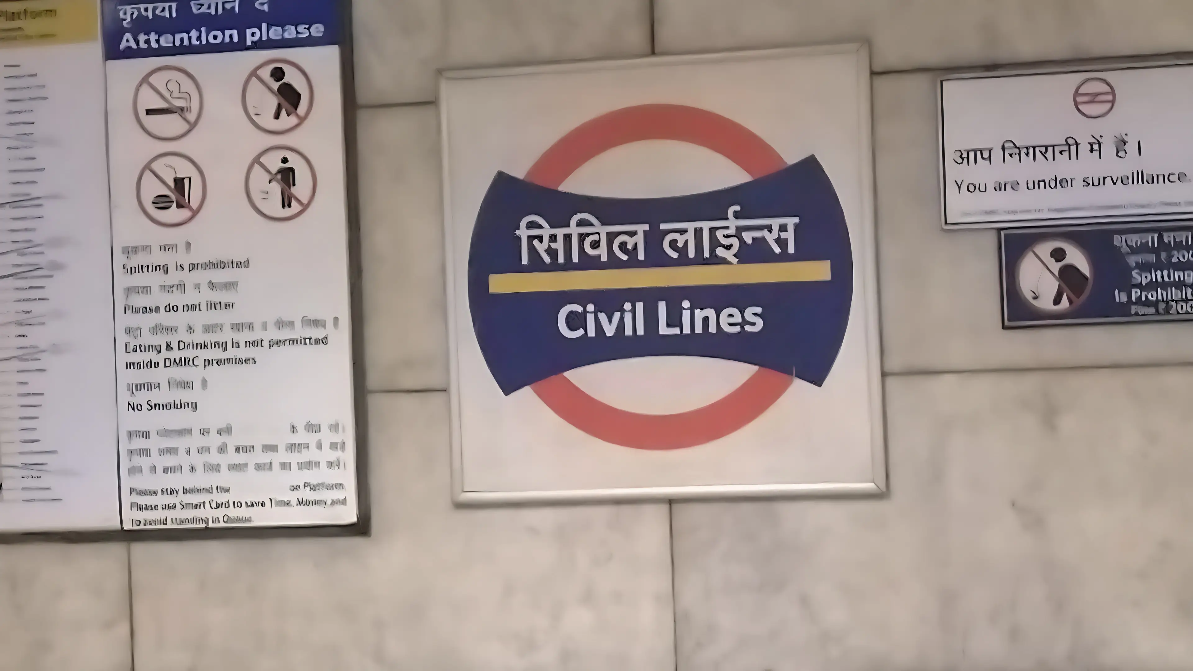
CVLN—Pink Line
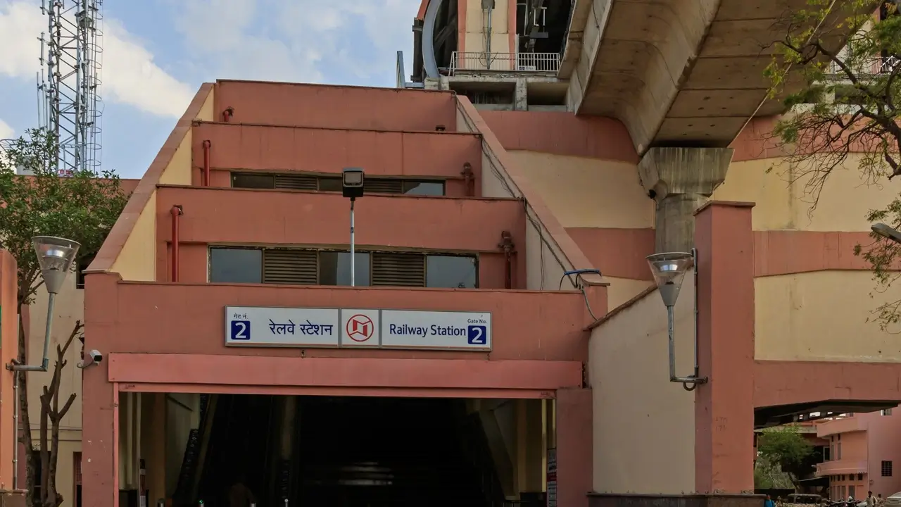
RLWS—Pink Line
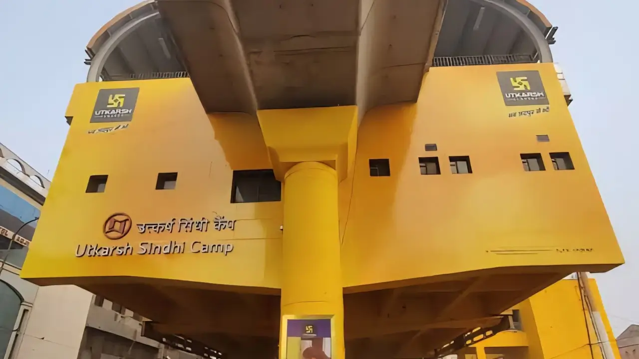
SDCP—Pink Line
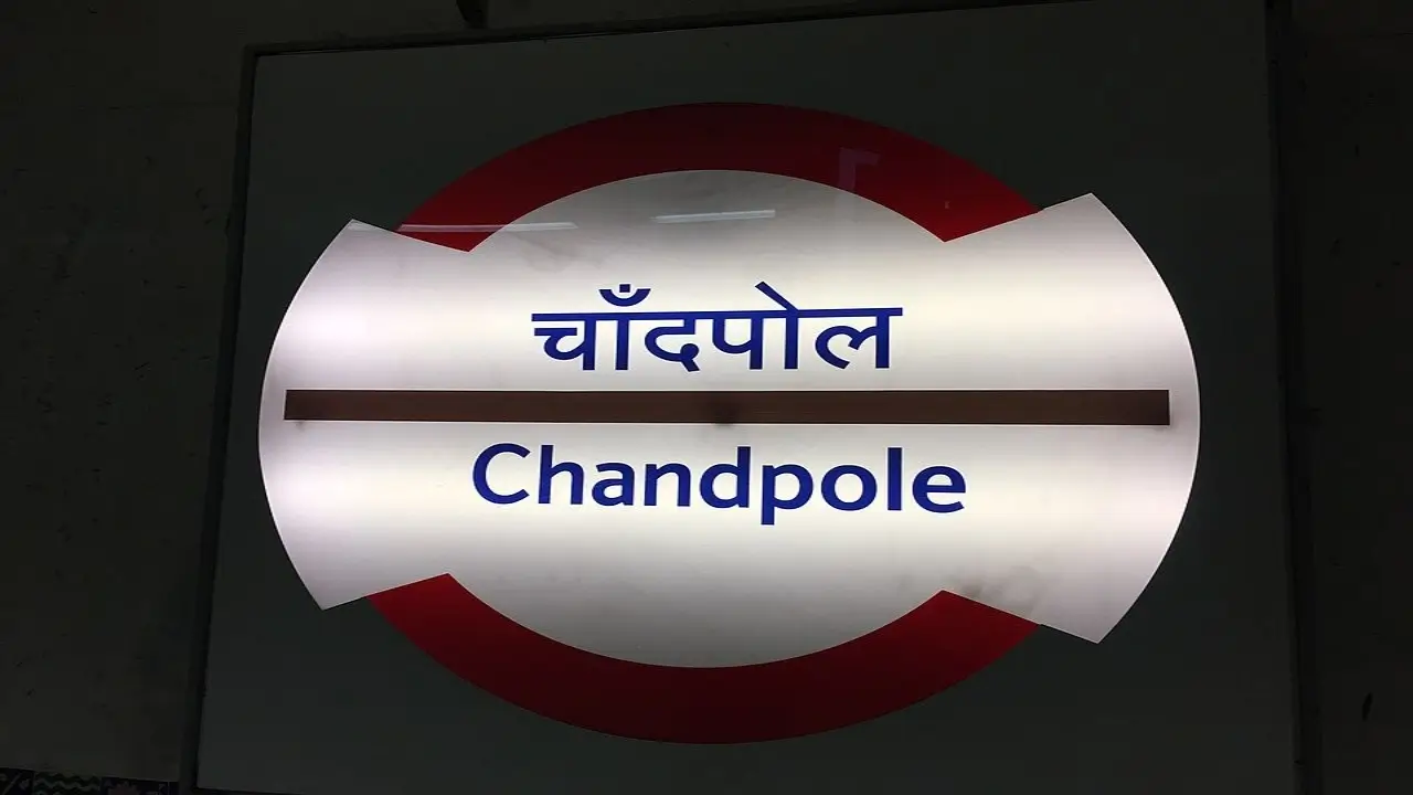
CHPL—Pink Line
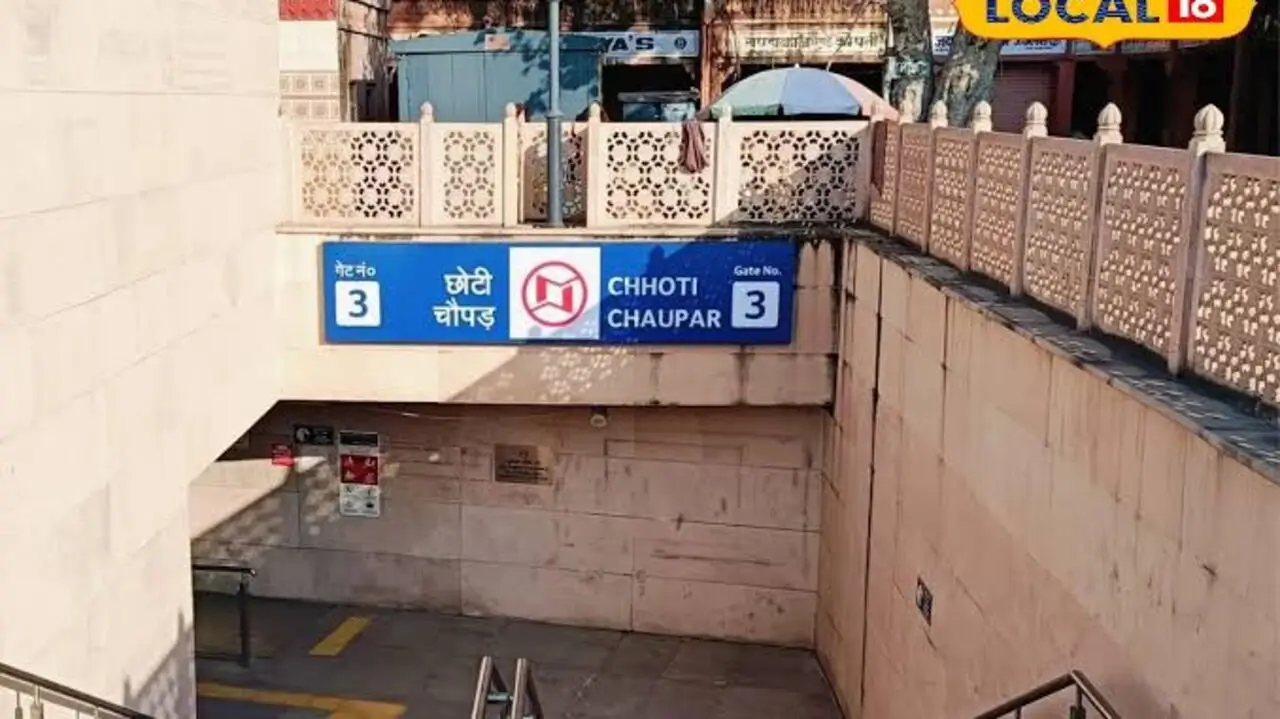
CTCP—Pink Line
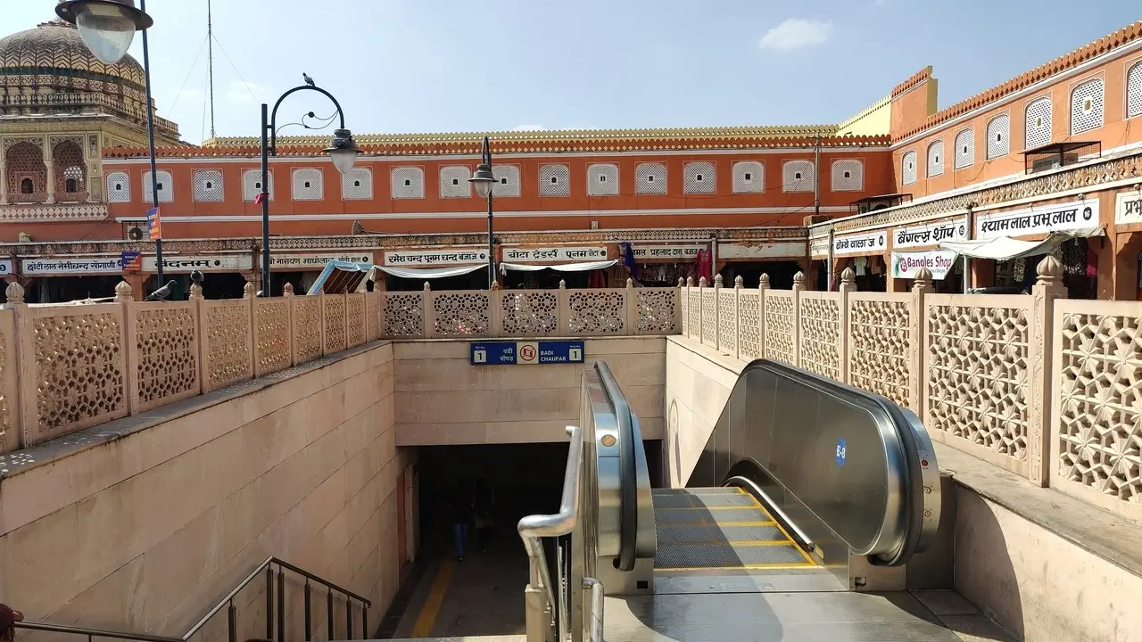
BDCP—Pink Line
Get the high-resolution, updated 2026 route map for your phone or print. Always stay on track even without internet access.
Navigating a new city can be daunting, but the Jaipur Metro is designed for simplicity. The Pink Line follows a linear route, making it almost impossible to get lost. However, being aware of the nuances of the Jaipur Metro route can save you time. For instance, if you're aiming for the Pink City (Walled City), exit atBadi Chaupar or Choti Chaupar rather than Chandpole to save on walking distance.
If you're arriving at the Jaipur Junction Railway Station, look for the dedicated subway that connects the platforms directly to the Metro station. This avoids traversing the busy outside traffic, ensuring a secure and swift transition.